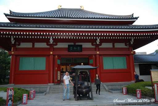
My YOUTUBE video of TOKYO
Toshima is one of the 23 special wards of Tokyo, Japan. Located in the north-west corner of the ward area, Toshima is bordered by the cities of Nerima, Itabashi, and Kita in the north, and Shinjuku and Bunkyo in the south.
The ward was founded on March 15, 1947 and reached a peak resident population of 370,000 in 1965. The population has continued to decline and as of December 1, 2005, the ward had an estimated population of 252,011 with a density of 19,370 persons per km². During the day the population swells with commuters, resulting in a daytime population of around 430,000.
The total land area of Toshima is 13.01 km², sitting on a moderate plateau with a difference of 28 m between the ward's highest and lowest points. Approximately 47% of Toshima's land is residential, and 20% is commercial and public areas.
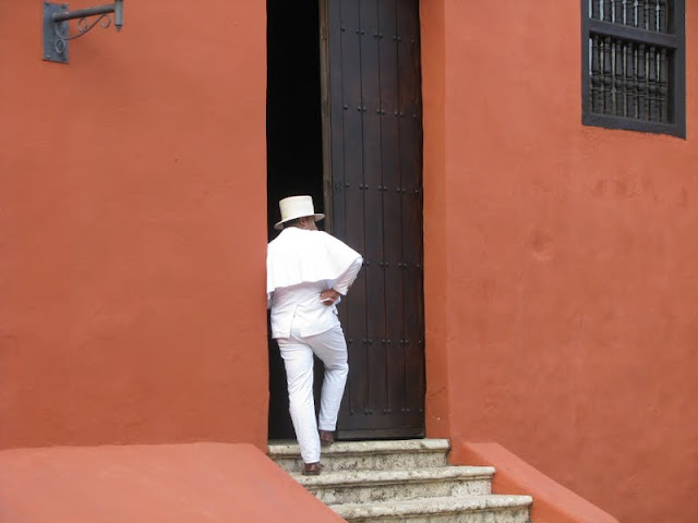
Though Toshima is a ward, it refers to itself as a city. The ward offices are located in Ikebukuro, which is also the commercial and entertainment center of Toshima.
With a non-Japanese population of 15,516, or 6.16% of the total, Toshima is one of the most international wards in Tokyo. Of the foreign population, 56% is of Chinese descent, 20% is of Korean descent, followed by Filipinos.
Toshima was formed in 1932 by the merger of four towns, Sugamochō, Nishi-sugamochō, Takadachō, and Nagasakichō, bordered by the quickly expanding former city of Tokyo.
The area evolved from a suburban agricultural district in the Edo period to the urban commercial center that it is today. The growth was fueled by the construction of various rail lines built in the Meiji and Taishō period.
The former Somei village, now part of Toshima, is the birthplace of the Somei Yoshino, Japan's most popular variety of sakura (cherry blossom tree). The variety was developed at the end of the Edo period.
Toshima is one of the 23 special wards of Tokyo, Japan. Located in the north-west corner of the ward area, Toshima is bordered by the cities of Nerima, Itabashi, and Kita in the north, and Shinjuku and Bunkyo in the south.
The ward was founded on March 15, 1947 and reached a peak resident population of 370,000 in 1965. The population has continued to decline and as of December 1, 2005, the ward had an estimated population of 252,011 with a density of 19,370 persons per km². During the day the population swells with commuters, resulting in a daytime population of around 430,000.
The total land area of Toshima is 13.01 km², sitting on a moderate plateau with a difference of 28 m between the ward's highest and lowest points. Approximately 47% of Toshima's land is residential, and 20% is commercial and public areas.
Though Toshima is a ward, it refers to itself as a city. The ward offices are located in Ikebukuro, which is also the commercial and entertainment center of Toshima.
With a non-Japanese population of 15,516, or 6.16% of the total, Toshima is one of the most international wards in Tokyo. Of the foreign population, 56% is of Chinese descent, 20% is of Korean descent, followed by Filipinos.
Toshima was formed in 1932 by the merger of four towns, Sugamochō, Nishi-sugamochō, Takadachō, and Nagasakichō, bordered by the quickly expanding former city of Tokyo.
The area evolved from a suburban agricultural district in the Edo period to the urban commercial center that it is today. The growth was fueled by the construction of various rail lines built in the Meiji and Taishō period.
The former Somei village, now part of Toshima, is the birthplace of the Somei Yoshino, Japan's most popular variety of sakura (cherry blossom tree). The variety was developed at the end of the Edo period.


 Shinjuku had developed as a new (shin) station (shuku or juku) on the Kōshū Kaidō, one of the major highways of that era. Naitō was a daimyo whose mansion stood in the area; his land is now a public park, the Shinjuku Gyoen.
 he post-war construction. Only in Kabuki-cho was a grand reconstruction plan put into action.
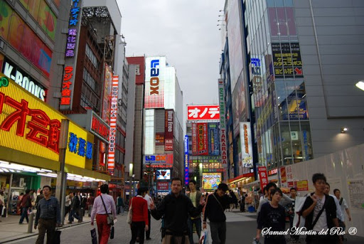
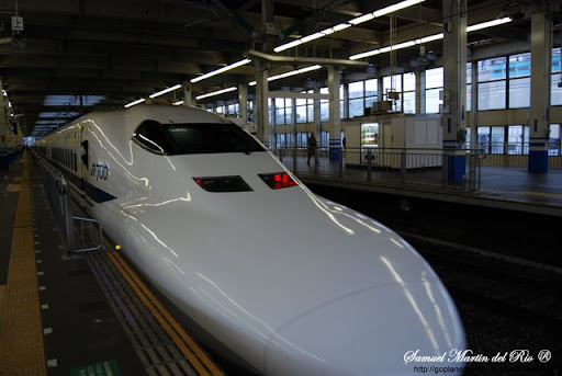
 ntained the Suzugamori execution grounds in Shinagawa. The Tōkaidō Shinkansen began serving Shinagawa Station from 2003, and the nearby Shinagawa Intercity office complex will be served by a new subway station in a few years' time.
 national celebrity for his loyalty. A statue of Hachikō was built adjacent to the station, and the surrounding Hachikō Square is now the most popular meeting point in the area.